
FAQs
What area does the study cover?
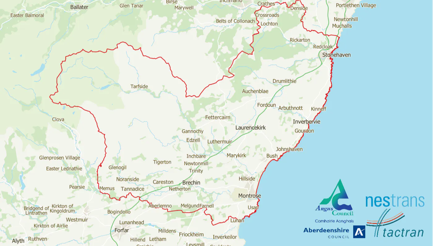
The Study Area spans parts of both Aberdeenshire and Angus, located between Dundee and Aberdeen, and includes a network of small towns and dispersed rural communities centred around Brechin, Montrose, Laurencekirk, Inverbervie, and Stonehaven. For reference, a map highlighting the study area boundary in red appears at the top of the page, throughout the survey.
How will my responses be used?
Your responses will be used to understand how people travel, identify challenges, and help shape future transport improvements. Responses will be anonymised.
How can I get involved further?
If you’d be interested in taking part in further public engagement sessions, there will be an opportunity in the survey to provide your contact details to reach you if further engagement is planned.